blah blah blah
Cooley Hill
Length: 6.4 miles out-and-backDifficulty (click for info): Moderate
Elevation Gain: 1240 feet (+140 feet on return)
Rating (click for info): 6/10
Elevation: 2460'
Prominence: 85'
Driving Directions:
Trailhead and parking area are on Rt. 116 in Easton, NH. The parking area is 1.9 miles north of the eastern junction with Rt. 112 and 9.2 miles south of Rt. 18 in the center of Franconia. Look for a small pull-off next to a gated logging road with a trail sign on the west side of the road, just north of a pair of sharp curves. Click here for a Google map.
About the Hike:
In a group of low-lying hills at the western extremes of the White Mountains lies Cole Hill. A huge, forested north-south running ridge, it stretches out on the west side of Rt. 116 in the town of Easton. A long, gradual hiking trail is available for access to the site of an old fire tower on the summit of Cooley Hill, a minor southern knob of Cole Hill. Though a recent logging operation has interrupted some sections of the trail, it has also opened one good viewpoint on the hillside, which previously offered only a peek through the trees from near the summit.
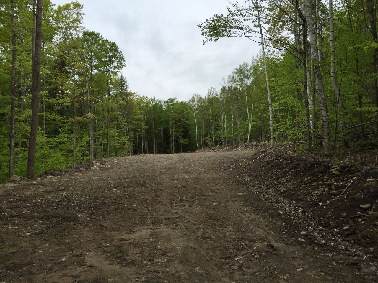
Start your hike in the midst of the recent logging operation. Walk up the road past the gate, passing through a small clearing and coming to an intersection of two logging roads at 0.3 miles. Continue straight onto the road marked with the hiking sign. The road climbs uphill slightly for another 0.7 miles, steepening a bit and coming out into a very large logged clearing. Walk directly across the clearing and look for the trail more to the left of where the logging operation continues uphill. The trail now ascends through the forest on a much older logging road (the same road that you have been following the whole time that was re-used for the latest logging operation). The path heads uphill at an angle, passing through areas that may be muddy after a rain. It crosses a small brook in a 1/4 mile from the clearing, then continues uphill a bit more steeply for 0.3 miles to a flat area. It approaches the logged areas again, crossing one of the roads and continuing back into the forest on the other side. It continues uphill for 0.2 miles, then emerges on the side of a large clearcut at the top of a southern peak of Cooley Hill which is more prominent than Cooley itself. It runs flat alongside the clearing for a while, than descends about 120 feet over a gradual half-mile to a col. The trail then swings right and drops off the ridge a bit, crossing another logging road and reaching its low point past the subpeak in another 0.15 miles.
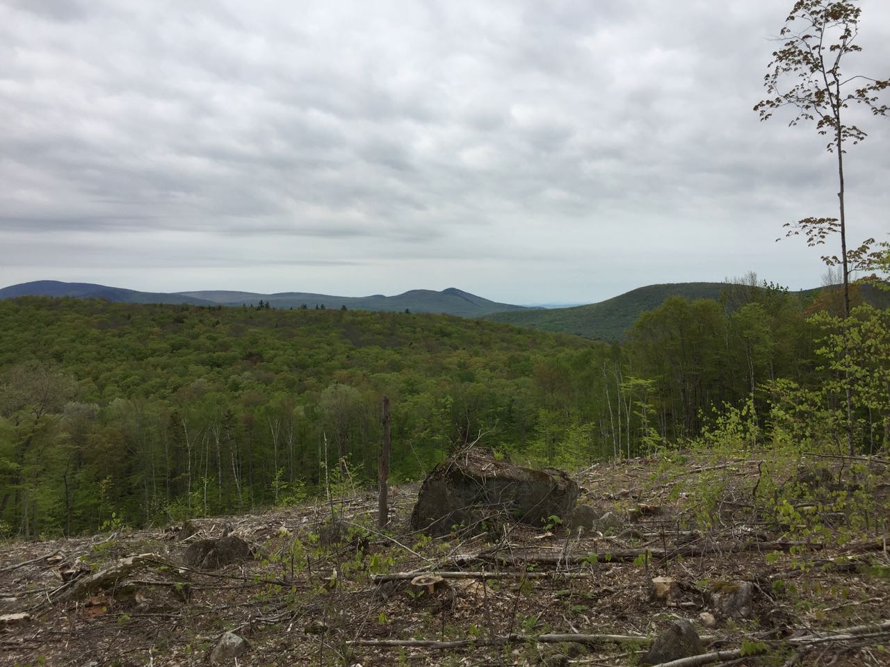
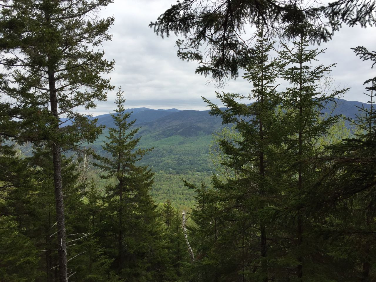
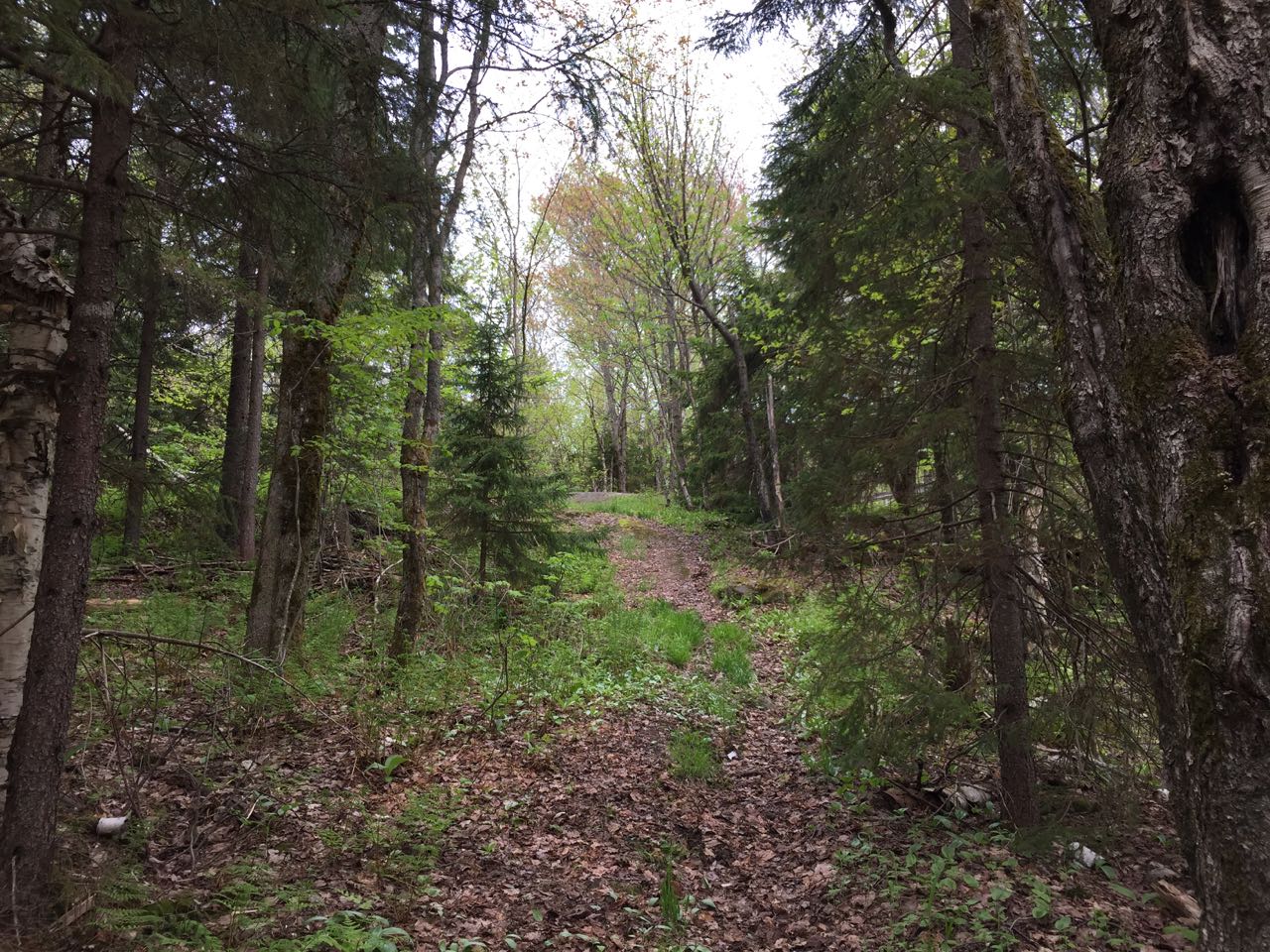
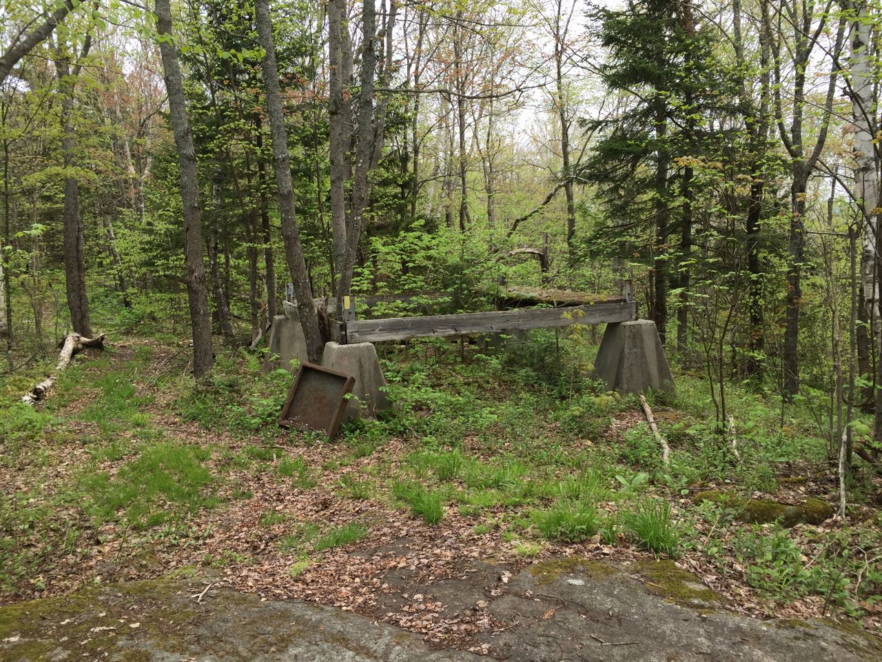
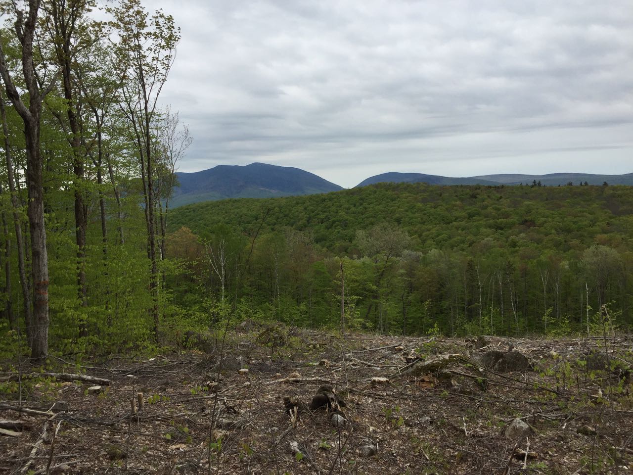
It climbs again up a steeper slope for a bit, then swings around to the left a few times, attaining the main ridge to the summit. In 0.3 miles from the lowest point, look through the trees on your left and you will see an opening. By walking a few yards through the trees out to this logged clearing (note that there is no defined path as of yet), you can find the best views of the hike. From the top of the clearing, you have a good view of Mt. Moosilauke and Mt. Clough, with an especially good look at Tunnel Brook Notch between them. To the right, you can also see the northern half of the Benton Range, with the long ridge of Jeffers Mountain leading over to Black Mountain. Head back to the main trail and continue upward. The path climbs moderately for 0.15 miles, then crosses a dip on the ridge. It continues right up along the ridge crest for 0.2 miles more to a junction with an unmarked but obvious side path on the right. Follow this down for a few steps and you can see through a small opening in the trees to the Kinsman Range and the Franconia Range behind to the left. Until the clearing earlier on the hike was logged, this was the only notable viewpoint on the entire trek to Cooley Hill. The summit is just 0.1 miles further up the trail. One more gentle pitch leads you into the pleasant grassy glade around the top. You will find the fire tower remains on the right of the trail just before the highest point (where the trail officially ends, but two other paths continue). In addition to the cement footings of the tower, the base of the wooden structure remains intact.
Printable directions page